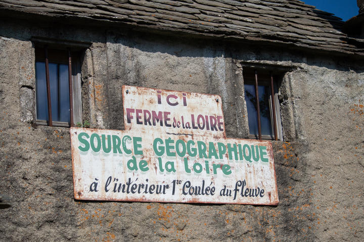
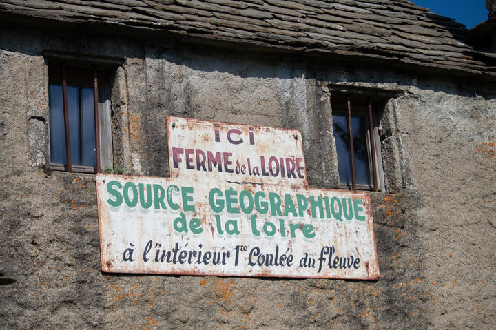
Geographic source of the Loire River
The source runs into a stone pool inside an old barn which was renovated with a shale roof. You can visit the renovated farm and drink the water at its source.
Se rendre à l'abreuvoir "dans l'étable de mon grand-père", comme indiquera une jeune fille à son certificat d'études.
La Loire prend sa source dans l'est du Massif central, au pied sud du mont Gerbier de Jonc, dans la commune ardèchoise de Sainte-Eulalie, à 1408 m d'altitude. La source géographique de la Loire : au départ un simple filet d'eau qui donne un des plus beau fleuve de notre pays.
Période d'ouverture
All year round.Facilities / Interests
Equipements
Bar, Public WC, Themed path, Parking nearbyServices
Unguided group tours, Themed tour, Shop, Set down on-site for groups, Restaurant, Unguided individual toursPrestations Visites Individuelles
Unguided individual tours available permanentlyPrestations Visites Groupees
Unguided group tours available permanentlyComplement Visite
Nature guides accompany you along the Sentier des Sources de la Loire path (path of the sources) every day of the week during the months of July and August, and during the weekends in late June and early September. You can also walk the path unaccompanied: past the geographical and authentic sources, follow the blue dots on the path that starts in front of the Gerbier de Jonc restaurant, left of the road that comes from the Gerbier de Jonc esplanade.Visitable
YesGratuit
YesNear
Source des données

Données mises à jour le Mar 21, 2024 00:30:21


